
In this guide · 8 sections
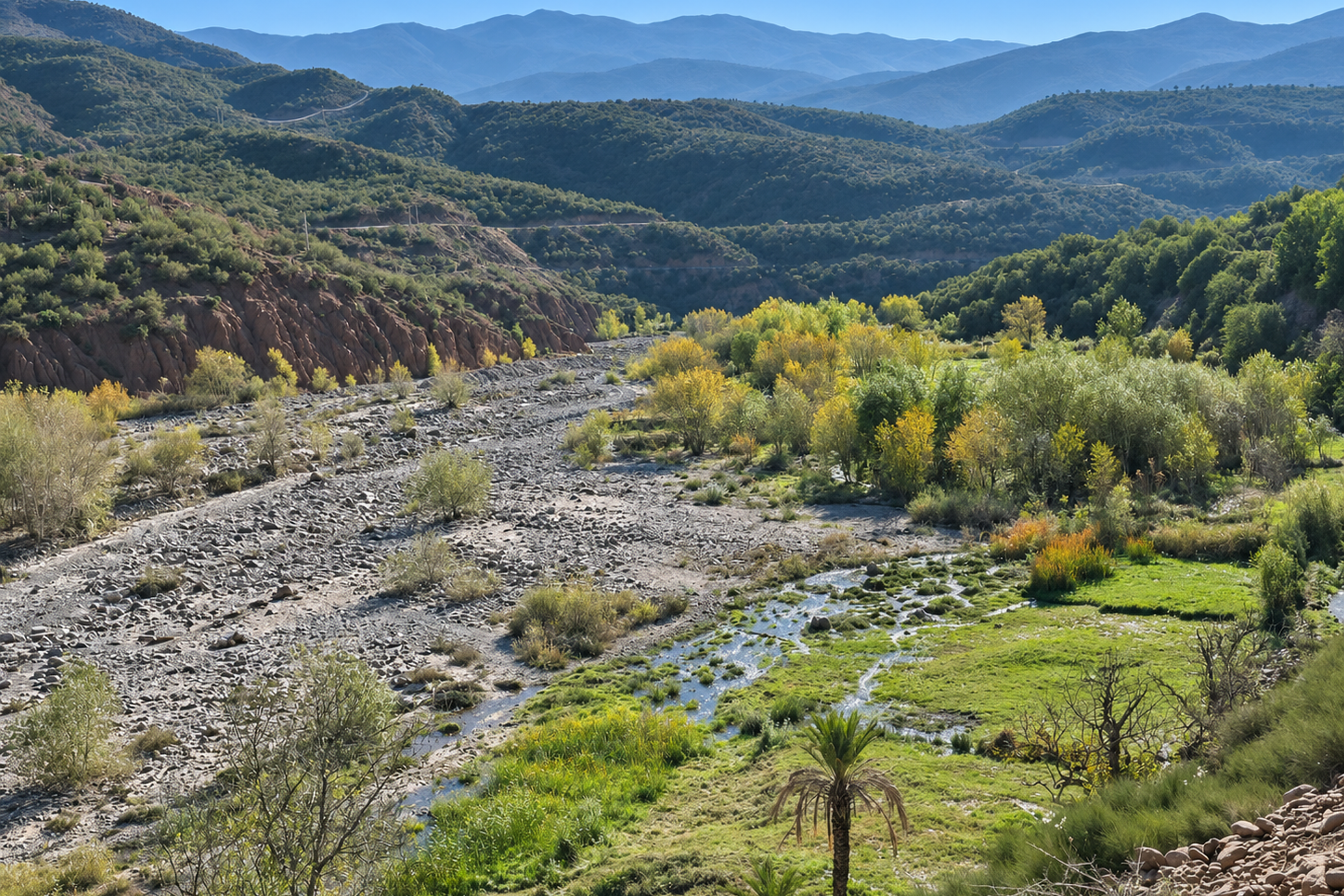
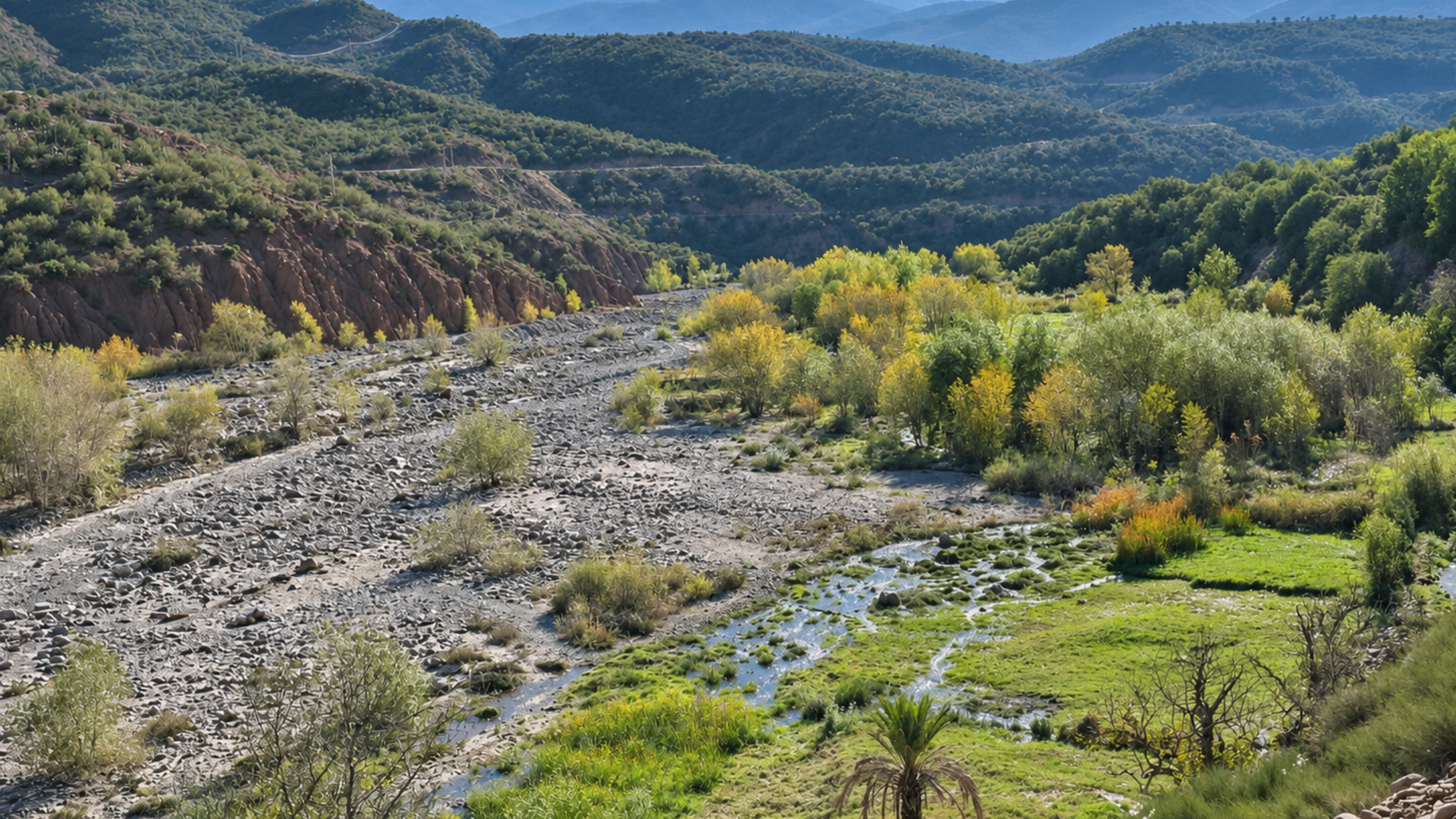
The Zat Valley is a High Atlas valley in Al Haouz province, about 63 km south-east of Marrakech. You reach it on the Ouarzazate road (N9) as far as Aït Ourir, then head south into the mountains for roughly 30 km to Tighdouine, the valley’s market village. Allow 1.5 to 2 hours each way with photo stops. It sees a fraction of the visitors of the Ourika Valley, and people come for everyday Amazigh village life, Tighdouine’s Wednesday souk, the potters of Talatast, the Sidi El Wafi springs and easy walks through terraced fields and orchards.
This guide covers where the valley is, how to get there, what there is to see, when to go and how to visit it well. If you are deciding between valleys, read our Zat Valley vs Ourika Valley comparison.
01Where is the Zat Valley?
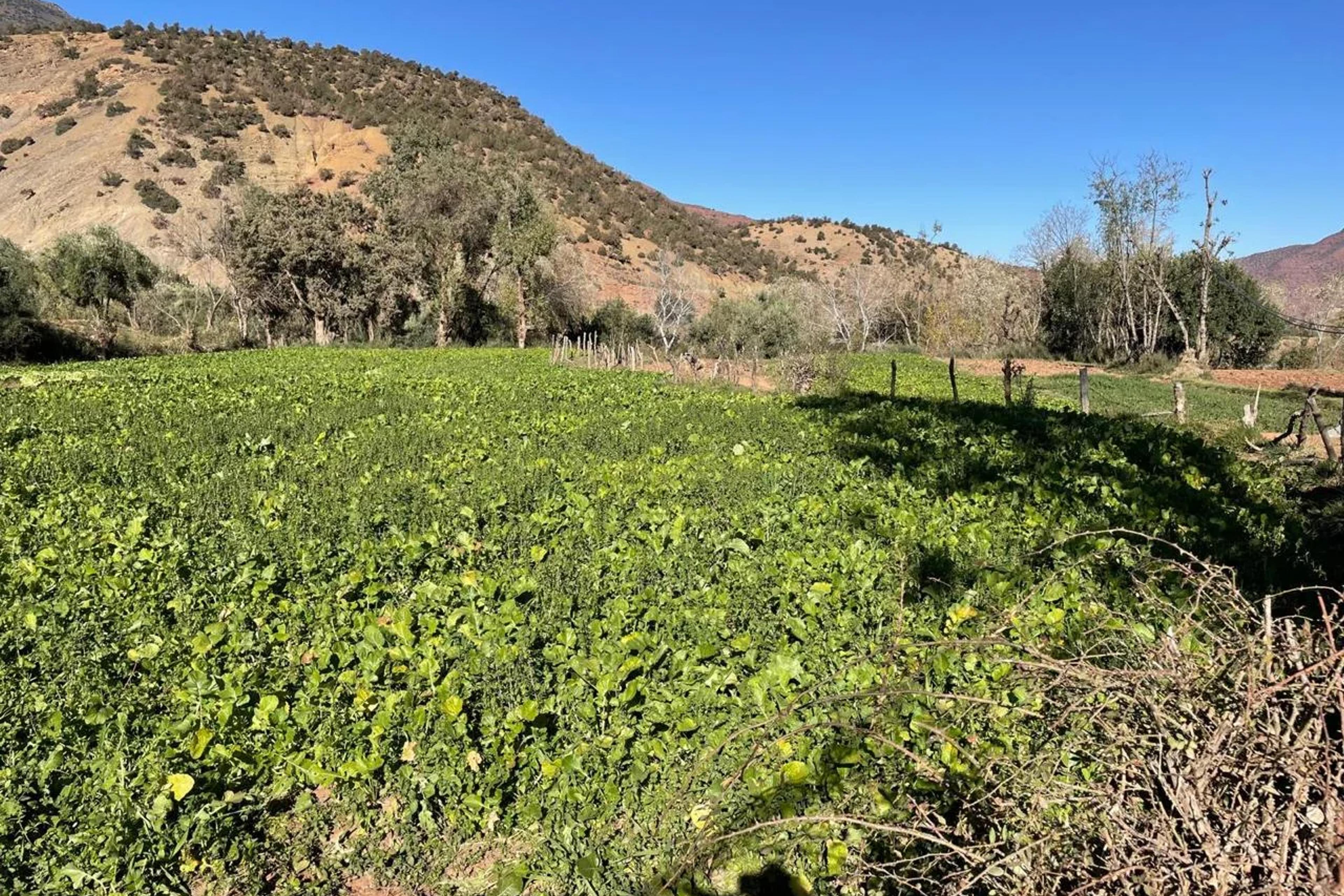
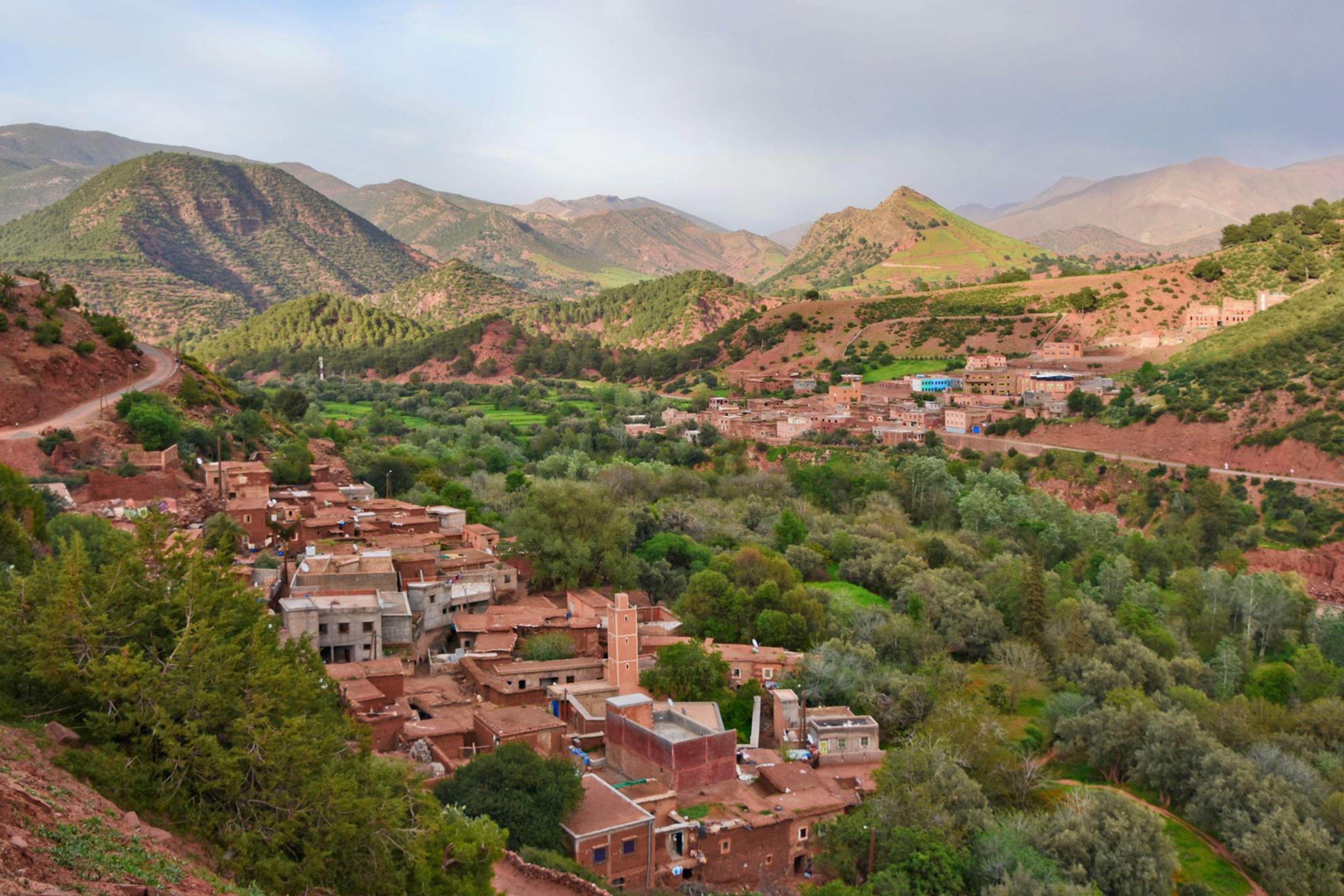
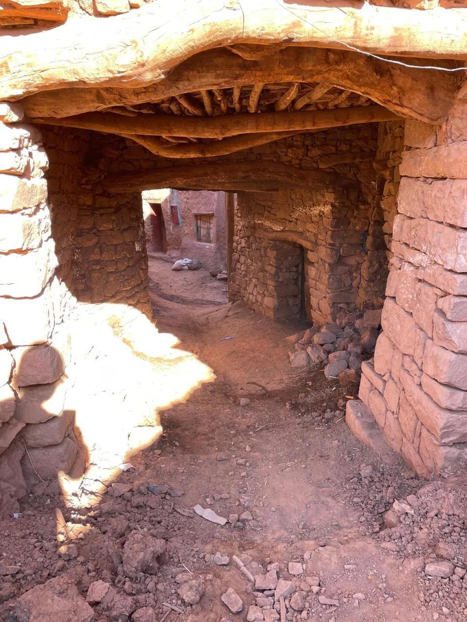
The valley takes its name from the Oued Zat, the river that irrigates its fields. Its main village, Tighdouine (also spelled Tighedouine), is a rural commune of Al Haouz province with around 22,000 inhabitants at the 2004 census, about 30 km by road south-east of the market town of Aït Ourir. Small villages of stone and earth houses sit along the valley sides, surrounded by terraced plots of wheat and barley, olive and fig trees, and walnut trees higher up.
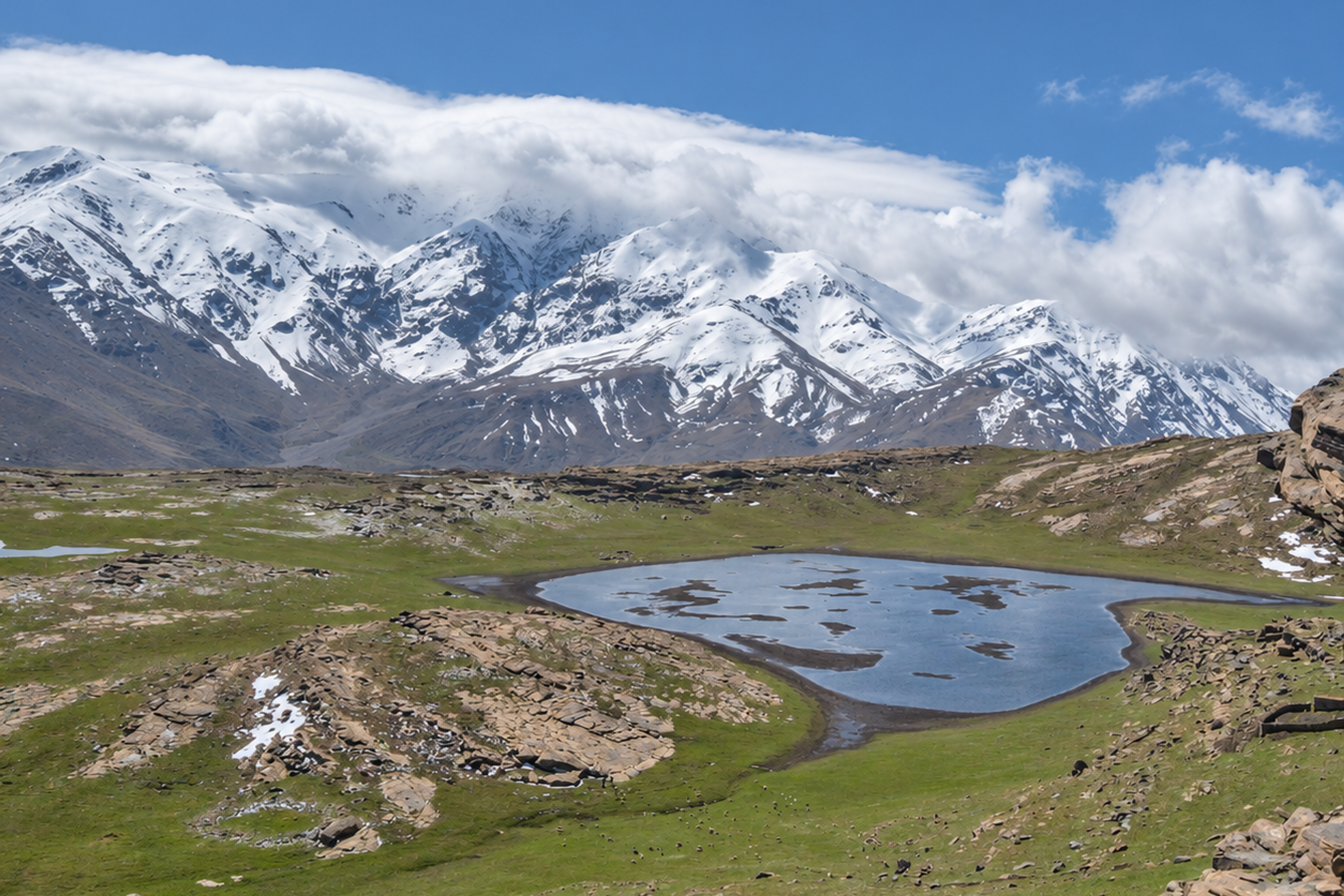
Higher still, to the south-west, lies the Yagour plateau, a high summer pasture between about 2,300 and 2,700 m, covered in prehistoric rock engravings (see Agdal Yagour). The Zat Valley is part of the wider Atlas Mountains region south of Marrakech, but it feels a long way from the busy trekking hubs around Imlil.
02How do you get to the Zat Valley from Marrakech?
The drive is the easy part. Leave Marrakech on the N9 towards Ouarzazate, cross the Haouz plain to Aït Ourir, then turn off the main road and climb into the foothills to Tighdouine. Aït Ourir’s own Tuesday souk is one of the biggest weekly markets in the region. Most of the journey is through farmland and small villages, with the mountains growing ahead of you.
| Leg | What to expect |
|---|---|
| Marrakech → Aït Ourir | Main N9 road towards Ouarzazate, across the Haouz plain |
| Aït Ourir → Tighdouine | About 30 km by road into the foothills |
| Total drive | About 1.5–2 hours each way, depending on the route and photo stops |
Most visitors come with a private driver or on a guided day trip. It is the simplest way to fit the market, a walk with a local guide and lunch into one day without worrying about connections.
03What is there to see and do in the Zat Valley?
Tighdouine and its Wednesday souk
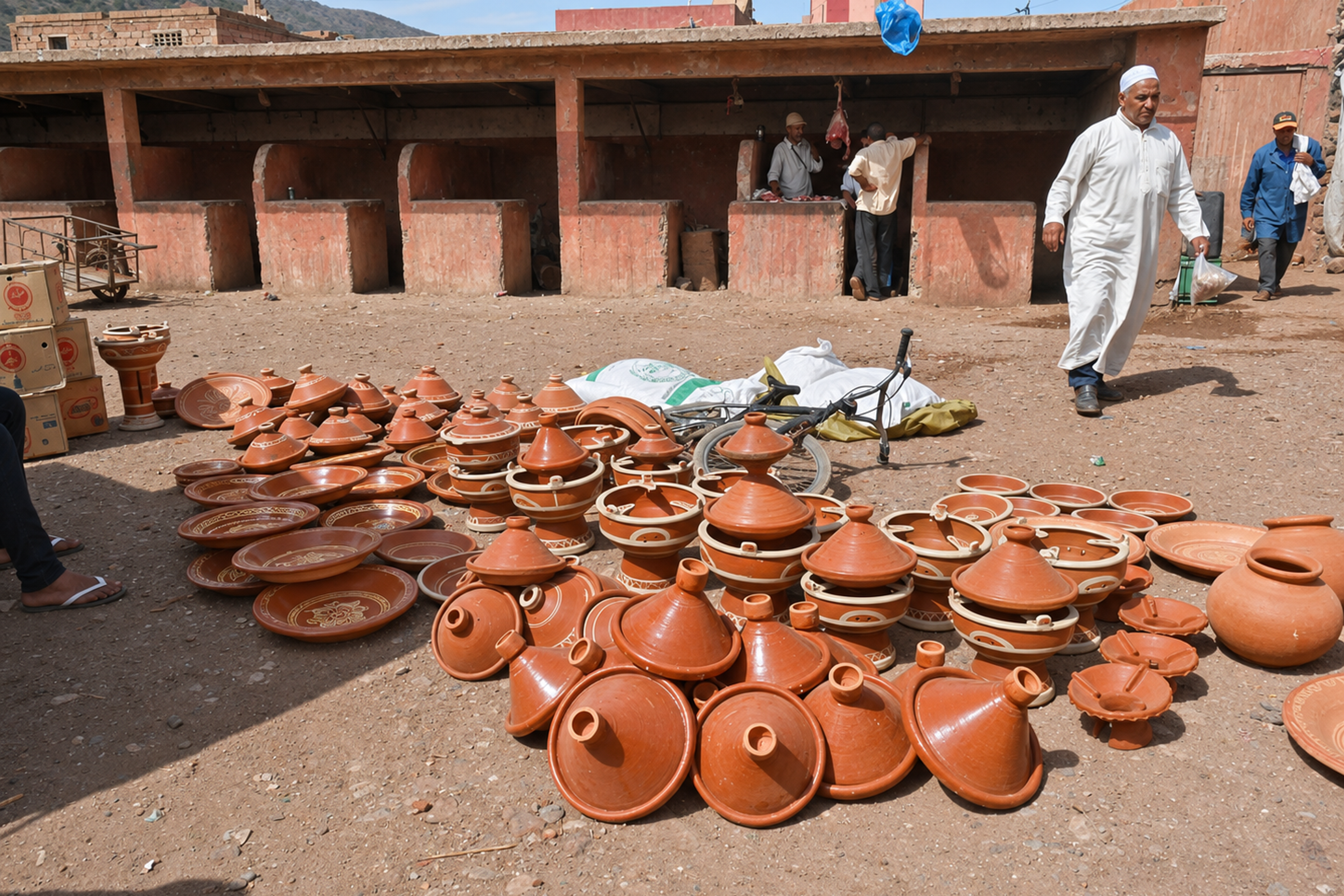
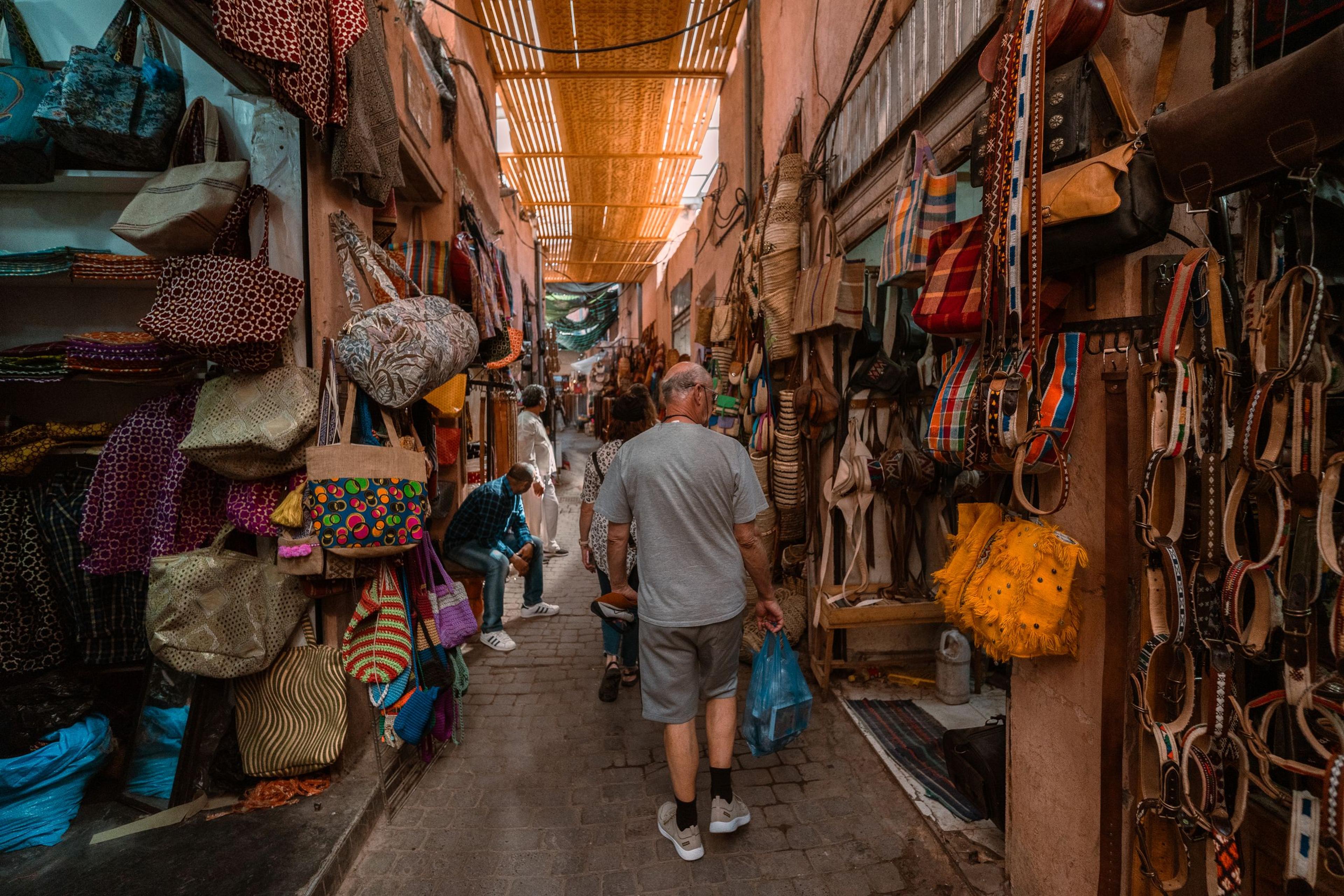
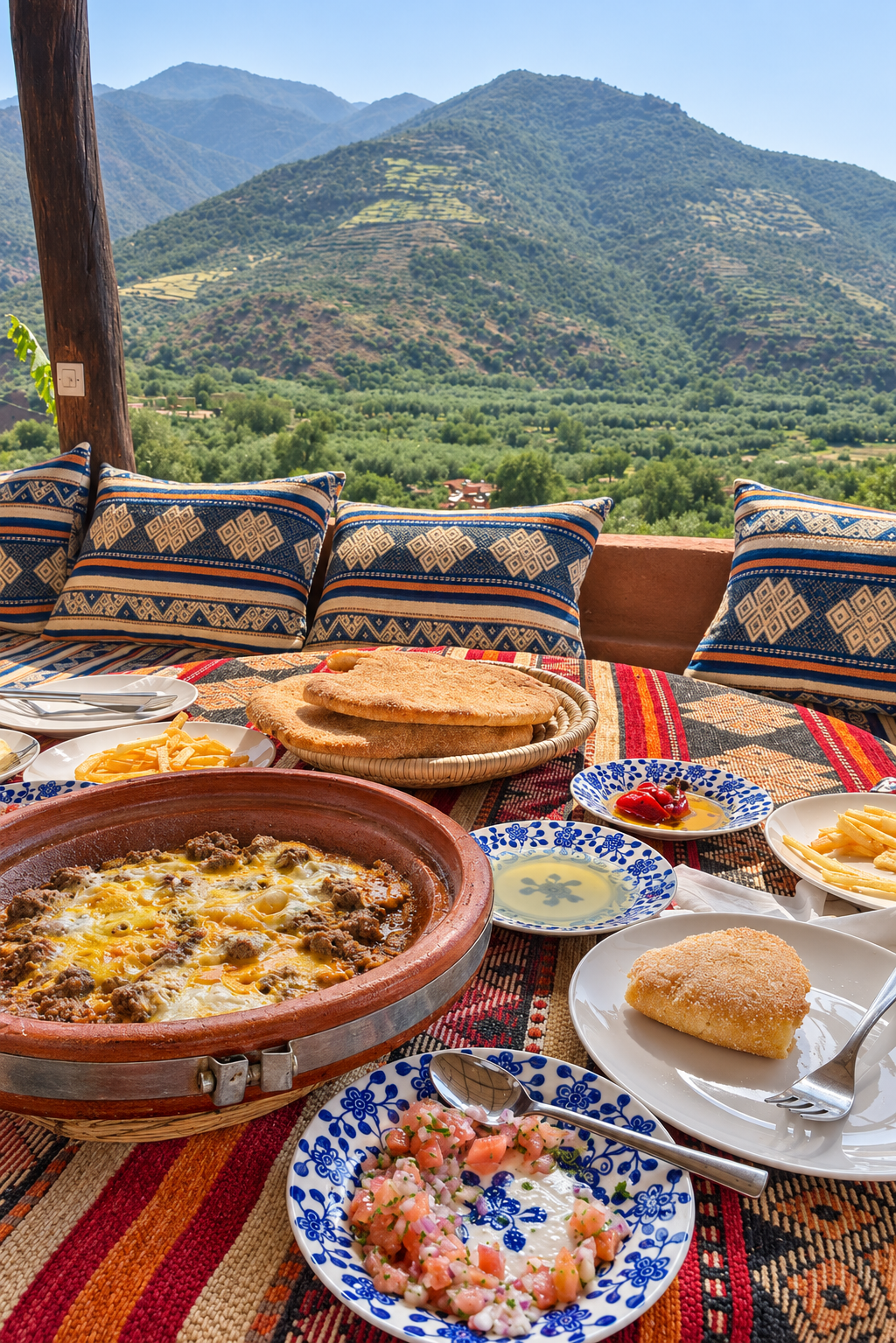
Tighdouine is the valley’s hub, and on Wednesdays only it hosts its weekly souk, known as Souk Larbaa Tighedouine (larbaa means Wednesday). Families from the surrounding villages come down for their weekly shopping: vegetables, fruit, herbs and fresh mint, spices, household goods and local pottery, with a livestock corner of its own. It is a working market for the people who live here, not a show for visitors, which is exactly why it is worth seeing. On any other day the village is quieter but still a good introduction to valley life. Local kitchens are known for goat tagine flavoured with mountain herbs such as thyme and wormwood.
If you have only shopped in the medina, a rural souk is a different experience. Our guide to Morocco’s souks explains how markets and bargaining work, and weekly souks near Marrakech lists which rural market runs on which day.
Talatast, the potters’ village
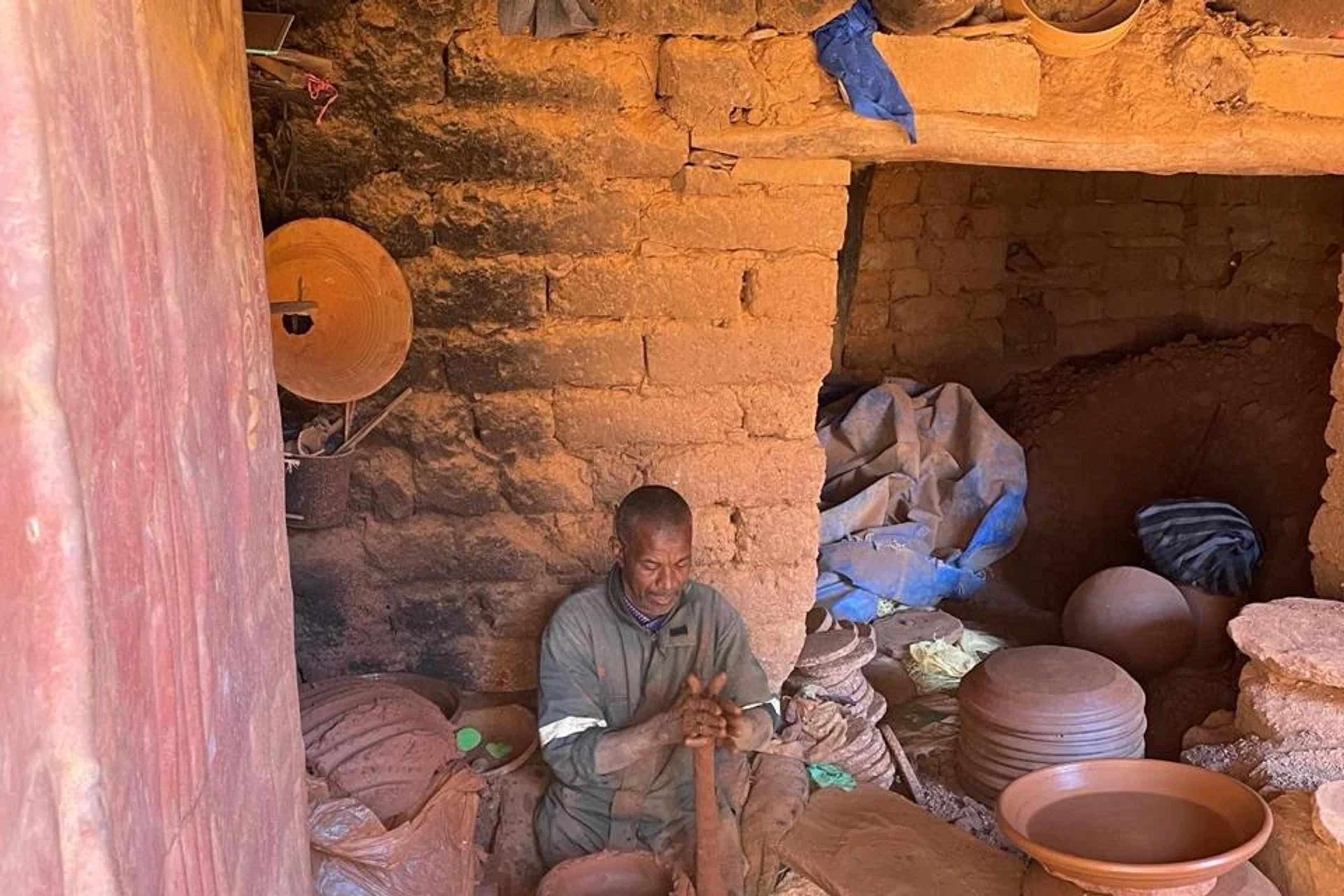
Talatast is a small hilltop village known for its handmade pottery, reached from Tighdouine on foot along a mule path that passes wheat fields and olive orchards. Families here still dig local clay, shape it at the wheel and dry it in the sun before firing. The workshops are working family businesses, so whether you can watch a potter at work depends on who is there that day.
We go deeper into the craft, from raw clay to seasoning your own pot at home, in how Moroccan tagine pots are made.
The Sidi El Wafi springs
Around Tighdouine, the springs of Sidi El Wafi (also written Sidi Ouafi, or Ain Sidi Ouafi) are a group of seven natural water sources, reached across a bridge over the Oued Zat. Some run fresh and some sulphurous, and the clay around them is used locally as a remedy for skin complaints. The springs have long been a place of local pilgrimage, and many people in the region credit the water with healing properties.
Come for the setting and the story: these are springs used by local communities, not waterfalls or a swimming spot, and access depends on the weather and local conditions.
Walking through terraces and villages
The best way to see the valley is on foot. Paths link the villages through terraced fields, orchards and stream beds, with the mountains rising behind. A walk of one to two hours with a local guide is enough to pass through a couple of hamlets, see how the land is farmed and stop at a viewpoint or two. Longer day hikes of three to four hours are possible for keen walkers.
Agdal Yagour: the high pastures above the valley
Above the valley rises the Yagour plateau, one of the High Atlas’s great heritage sites. It is an agdal: a summer pasture that local Amazigh communities have managed for generations under customary rules, closing it each spring so the grass can recover. The plateau is also covered in prehistoric rock engravings, around 2,000 by one count, of cattle, hunters, weapons and sun-like discs. The Zat sheikhdom of Tighdouine is one of its gateways.
Yagour is remote and is not part of a day trip; most people reach it on a multi-day trek. Our guide to Agdal Yagour explains the agdal system, the engravings and how to visit responsibly.
04Zat Valley or Ourika Valley?
The Ourika Valley is closer and famous for the Setti Fatma waterfalls, but it is busy, especially at weekends. The Zat Valley has no big waterfall and far fewer visitors; it is about village life, crafts and quiet walking. If you want the classic waterfall photo, choose Ourika. If you want to feel like a guest rather than one of the crowd, choose Zat. The full side-by-side is in Zat Valley vs Ourika Valley.
05When is the best time to visit the Zat Valley?
The valley can be visited all year; each season changes what you see.
- Spring (March–May): the greenest time, with crops growing on the terraces and comfortable walking temperatures.
- Summer (June–August): cooler than Marrakech, but middays are still hot. An early start makes the walk far more pleasant.
- Autumn (September–November): clear light, harvest season in the orchards and settled walking weather.
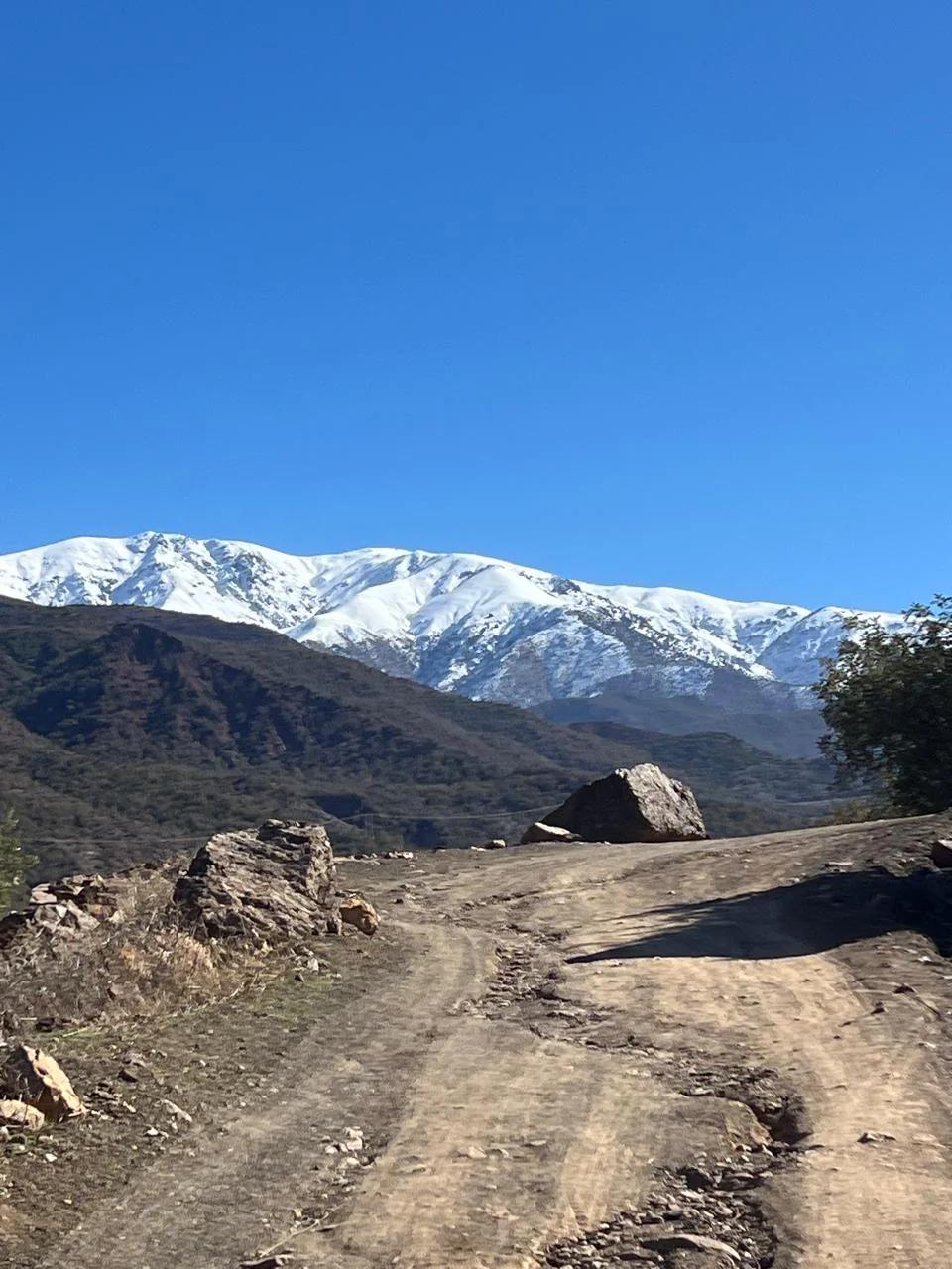
- Winter (December–February): snow is common on the high peaks and mornings are cold, but dry winter days are bright and beautiful. Heavy rain can make tracks and the springs inaccessible.
Whatever the season, plan your visit for a Wednesday if you want to see the souk. For month-by-month conditions across the country, see Morocco weather by month.
06What should you wear and bring?
- Comfortable walking shoes with some grip: paths are earth and stone, and can be muddy after rain.
- Layers. Mountain mornings are cooler than Marrakech, even in spring and autumn.
- Sun protection: hat, sunglasses and sunscreen.
- Clothing that covers shoulders and knees. These are conservative rural villages.
- Small cash in dirhams for pottery, the souk and tips.
Our Morocco packing list has the full list.
07How to visit respectfully
- Ask before photographing people, and accept a no gracefully, especially with women and children.
- Buy directly from potters and stallholders when you can; it keeps the money in the valley.
- Walk with a local guide. They know the paths, the families and the etiquette, and they make introductions that would be awkward on your own.
- Dress modestly and keep your voice down in the villages.
08Visiting the Zat Valley with AZA
Our Zat Valley Discovery day trip is a private tour from Marrakech: hotel or riad pickup at 08:30, the drive through the foothills, Tighdouine village (and its souk on Wednesdays), a pottery workshop visit when an artisan is available, a one-to-two-hour guided walk, the springs where access permits and a traditional Moroccan lunch, with return to Marrakech around 17:30–18:30. The walk is adapted to your group, so it works for families and less experienced walkers too.
Want more time in the mountains? Our Atlas Mountains tours include proper trekking days around Imlil.
Quick answers
The Zat Valley is in the High Atlas, in Al Haouz province, south-east of Marrakech. Its main village is Tighdouine, about 63 km from Marrakech city centre and about 30 km by road south-east of Aït Ourir.
Allow about 1.5 to 2 hours each way by car, depending on the route and photo stops. The road follows the N9 towards Ouarzazate as far as Aït Ourir, then climbs into the foothills to Tighdouine.
Tighdouine’s weekly souk is held on Wednesdays only. On other days the village is quieter, and a visit focuses on village life, crafts and walking.
Yes, if you want a quieter, more authentic side of the High Atlas than the Ourika Valley. There is no famous waterfall, but there are working villages, a weekly souk, pottery workshops, natural springs and easy walks with very few other visitors.
No. Village walks of one to two hours are easy to moderate on earth and stone paths. A local guide can shorten or lengthen the route to suit your group, and longer day hikes of three to four hours are possible.
For the walk, a local guide is strongly recommended. They know the paths between villages, the families and potters, and the etiquette, which makes the visit easier and more rewarding.
Agdal Yagour is the high summer pasture on the Yagour plateau above the Zat Valley, managed by local Amazigh communities under the customary agdal system, which closes it each spring so the grass can recover. The plateau is also known for its prehistoric rock engravings. It is reached on multi-day treks, not on a day trip.
Want this trip planned for you?
Tell us your dates and what you like. We send back a route and a price.
Get a free quoteBrowse tours →