

Morocco road trip map
Every route drawn on the real roads, with the drive times our drivers actually plan for. Preview a tour, check how far it is between two places, or build your own route and send it to us.
- places mapped
- 34
- places mapped
- real tour routes
- 35
- real tour routes
- drive times
- 35
- drive times
Filter our tours and show any route on the real roads. Tap a pin to learn about a place.
Showing 35 of 35 tours
Morocco driving distances and times
Typical door-to-door times our drivers plan for, including short photo and coffee stops. Motorway legs are quick and predictable; the mountain roads over the Tichka pass, through the Dades and across the Middle Atlas are slower than a navigation app suggests. We keep driving days under seven hours wherever we can.
Swipe for more regions →
From Marrakech
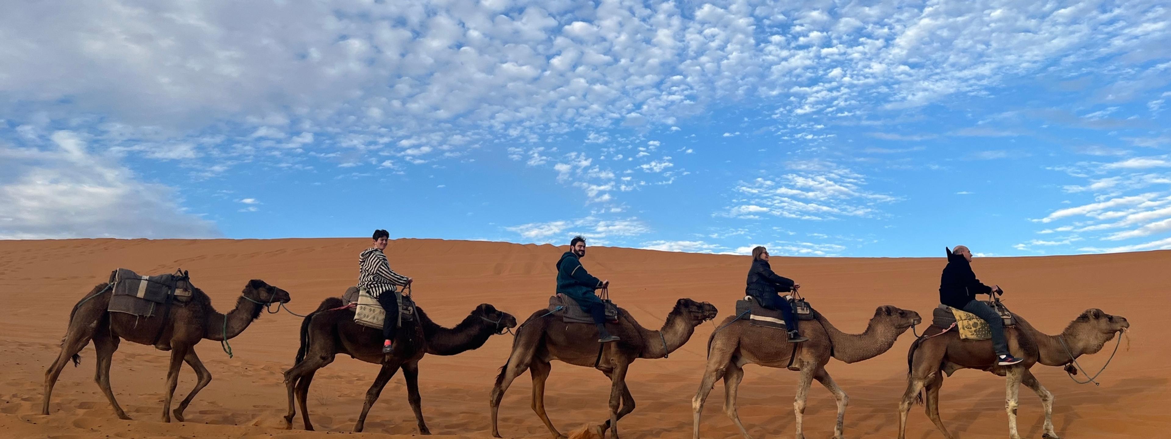
The desert route
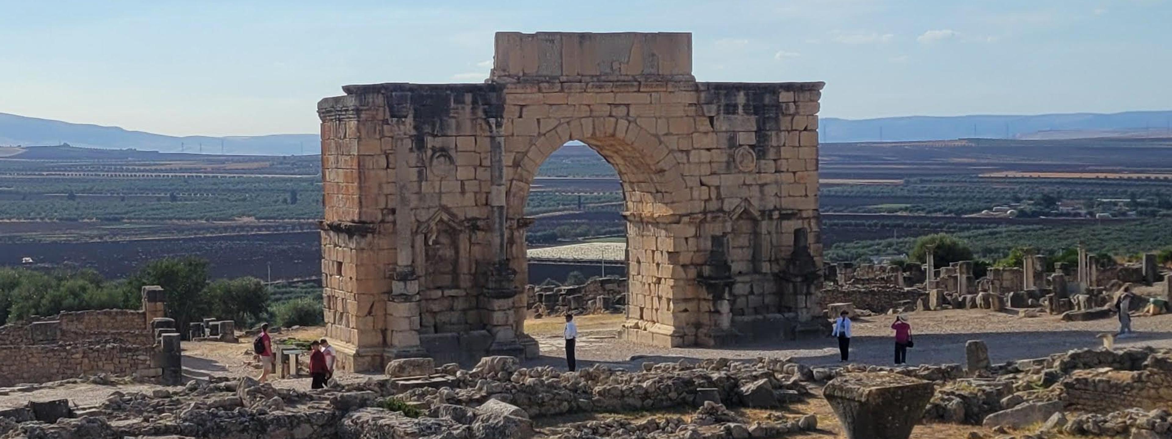
North & imperial cities

Tap any drive to see it on the map, with the road it takes and where to break a long day.
Which desert? Morocco's Sahara options on the map
Turn on Deserts compared above to see where each one sits. The full comparison is in our Merzouga vs Zagora vs Erg Chigaga guide.
Erg Chebbi (Merzouga)
Big orange dunes up to ~150 m
Paved road to the edge of the dunes
From Marrakech: 10 h (2 days)
A first Sahara trip — camps at every budget
Erg Chigaga
Morocco's largest erg, roughly 40 km of dunes
4x4 track only, past M'Hamid where the tarmac ends
From Marrakech: 11 h 45 (2 days)
Solitude — no village, no crowds, no fixed lights
Zagora & Tinfou
Modest dunes — hills of sand, not mountains
Paved road down the Draa Valley
From Marrakech: 7 h
Only two days — the closest Sahara camp to Marrakech
Agafay
Stony desert of bare hills — no sand dunes
45 minutes from Marrakech
From Marrakech: 1 h
A desert-camp evening without the long drive (not the Sahara)
Which airport to fly into
Flying into one city and out of another means you never drive back the way you came. Our tours start and end at any of these airports.
- RAKMarrakech MenaraMain gateway for the south, the Atlas and the Sahara. 15 minutes from the medina.
- CMNCasablanca Mohammed VMorocco's main long-haul hub. Good start for an imperial-cities loop ending in Marrakech.
- FEZFes–SaïssHandy for routes that start in the north and finish in Marrakech, so you never drive back.
- TNGTangier Ibn BattoutaGateway for the north and Chefchaouen; also reachable by ferry from Spain.
- RBARabat–SaléSmaller and calmer than Casablanca, an hour closer to Fes and Chefchaouen.
- AGAAgadir Al MassiraBeach-resort airport; a start point for southern and Erg Chigaga routes.
- ESUEssaouira MogadorSmall coastal airport with limited flights — check schedules before planning around it.
- OZZOuarzazateMostly domestic flights via Casablanca. Saves the Tichka pass drive one way.
- ERHErrachidia Moulay Ali CherifClosest airport to Merzouga, about two hours from the dunes. Mostly domestic flights.
UNESCO sites on the map
Morocco has nine cultural World Heritage sites. Most of our longer routes pass at least four of them.
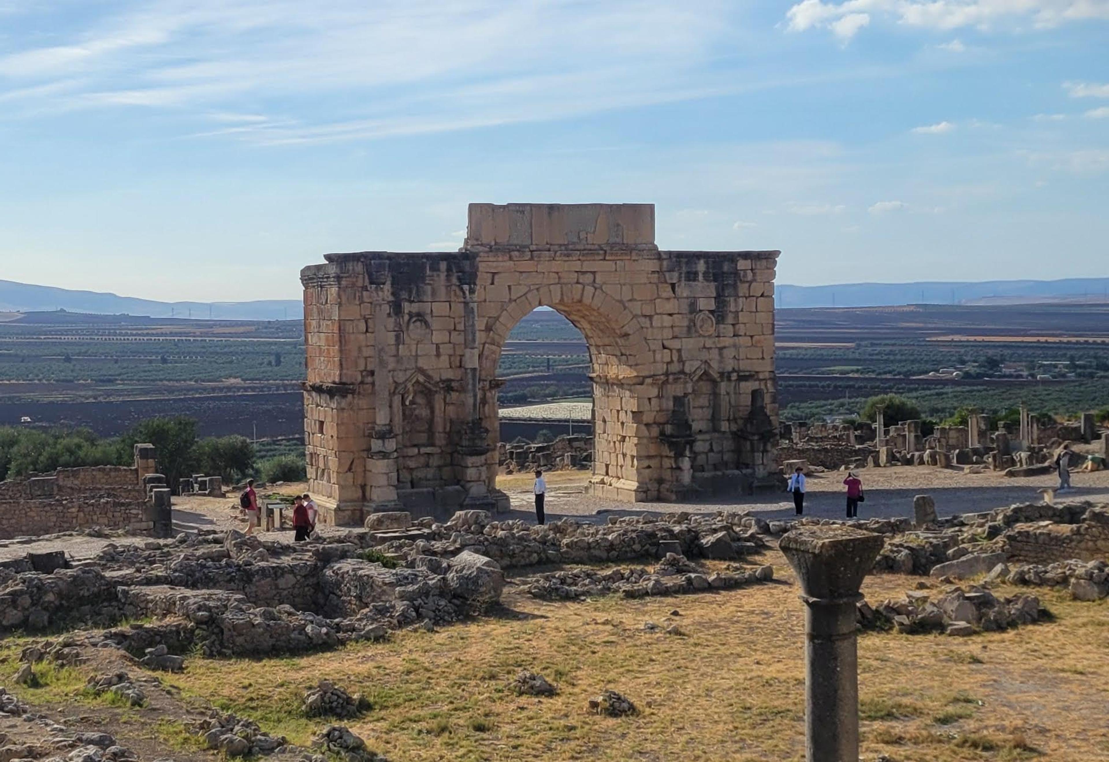

- Medina of Fez1981
- Medina of Marrakesh1985
- Ksar of Aït Ben Haddou1987
- Historic City of Meknes1996
- Archaeological Site of Volubilis1997
- Medina of Tétouan1997
- Medina of Essaouira2001
- Portuguese City of Mazagan (El Jadida)2004
- Rabat, Modern Capital and Historic City2012
How to use this map
Step 1
Preview a tour route
Filter by style, length, start city, month or who you travel with, then show any tour's route on the real roads.
Step 2
Check a drive time
Tap two places to see the distance, a realistic drive time, where to break a long day, and which of our tours drive that way.
Step 3
Build your own route
Tap places in order. We flag days over seven hours at the wheel, suggest how many days it needs, and you can send the route straight to us.
Morocco map: common questions
About 555 km and 10 h with short stops, over the Tizi n'Tichka pass and through the Dades and Todra valleys. It is too long for one comfortable day, so tours split it with a night in the Dades Valley or Ouarzazate. From Merzouga to Fes is another 8 h 30 via Midelt and Ifrane.
Around 525 km — 7 h through Beni Mellal and the Middle Atlas, or about 6.5 hours on the motorway via Casablanca and Rabat. Most travellers connect the two through the Sahara instead, so the long drive becomes the trip.
About 4 h 15 for 195 km through the Rif foothills. It works as a day trip, but an overnight in Chefchaouen is far more relaxed.
Yes. Every tour route and drive is drawn along the actual road network from OpenStreetMap data, so you see the real way over the Atlas passes rather than a straight line. Drive times are what our drivers plan for, including short photo and coffee stops — longer than a navigation app on mountain roads.
Marrakech (RAK) for the south, the Atlas and the Sahara; Casablanca (CMN) for the widest choice of long-haul flights; Fes (FEZ) or Tangier (TNG) for the north. Flying into one and out of another — for example Casablanca in, Marrakech out — saves you from driving back the way you came.
Yes. Use "Build a route" on the map to put your stops in order, check the drive times, then send it to us on WhatsApp or through the enquiry form and we will price it with your own driver.